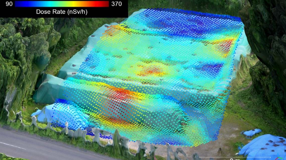
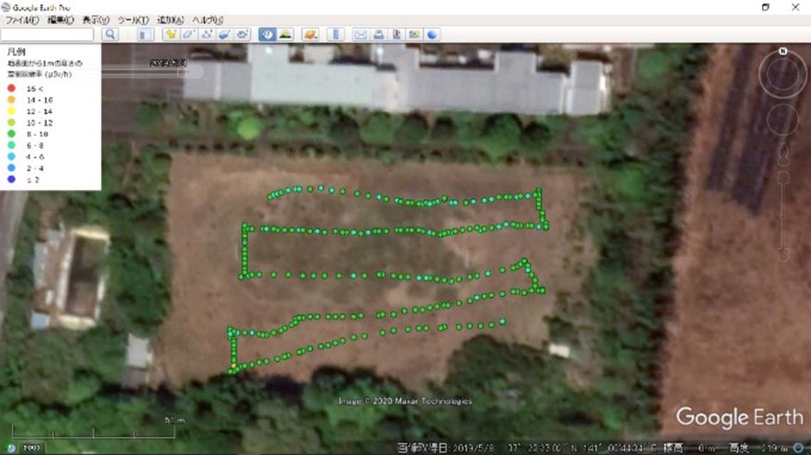
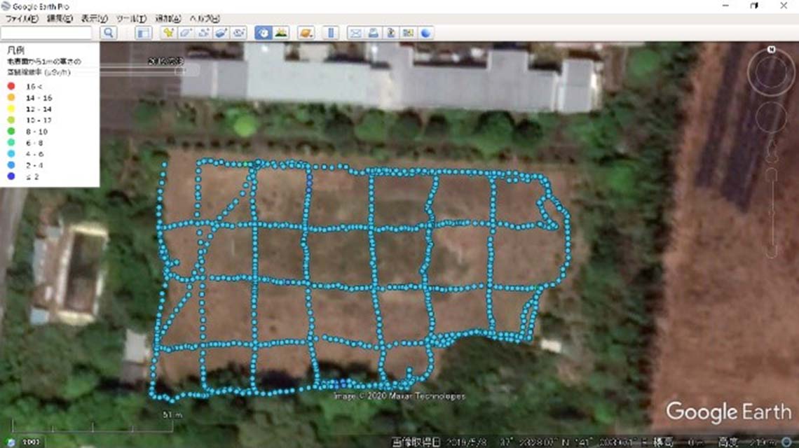
In the aftermath of a nuclear accident, such as the one at Fukushima Daiichi Nuclear Power Plant in 2011, the radiologically contaminated area in the vicinity of a reactor can be too dangerous for people to enter to monitor radiation. A new technology using drones, developed by the IAEA for use by the authorities of Fukushima Prefecture in Japan, will make this task easier.
An IAEA-developed instrumentation and methodology for Unmanned Aerial Vehicles (UAVs) equipped with radiation detectors, cameras and GPS devices has been tested and validated under real conditions in the Fukushima Prefecture in Japan and is now available for practical use in routine or emergency situations. Based on this experience, the IAEA is ready to assist interested Member States to develop and implement this technology for radiological mapping following a nuclear or radiological emergency.
The low cost of drones and the fact that people avoid being exposed to radiation by using them are significant advantages of this technology.
The IAEA and Fukushima Prefecture first started working together on developing and applying UAVs for radiological monitoring in 2012. In the framework of the IAEA Action Plan on Nuclear Safety, the IAEA has assisted Fukushima Prefecture through two consecutive cooperation projects from 2012 to 2020 by:
- Providing a complete UAV-based instrumentation system for radiation measurements — a radiation detection system with data processing and storage capability — developed and built at the IAEA Nuclear Science and Instrumentation Laboratory (NSIL);
- Providing post-measurement analysis and interpretation methodology as well as training personnel both at Fukushima Prefecture and at NSIL in Seibersdorf, Austria on how to apply the UAV and its instrumentation system as well as on how to use the software for obtaining and interpreting data.


