• English
  • العربية
  • 中文
  • Français
  • Русский
  • Español

You are here

Scientists Explore Groundwater in the Sahel with Nuclear Technology

,

Isotope hydrologist takes water samples from a well in Bangui, Central African Republic. (Photo: L. Gil/IAEA)

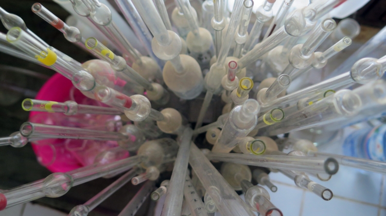
Bangui, Central African Republic — In the deserts of the Sahel, one of the poorest regions of the world, rich bodies of water underground provide a source of life. Using nuclear-derived techniques, scientists from 13 African countries have carried out the first ever regionwide assessment of groundwater in this area of 5 million square kilometres, with the help of the IAEA. They have so far gathered valuable clues — including contamination levels and flow patterns that connect the different aquifers and basins.

“This information is like gold,” said Eric Foto, head of the isotope hydrology laboratory at the University of Bangui in the Central African Republic. “With it we can tell the Government where we have shallow, renewable water to drill wells, where pollution comes from, or how long quality water will last.”

To policy-makers who struggle to ensure that safe potable water is available in a region that depends on these aquifers, such findings are critical.

See scientists at work in the field in this photo essay.

The Sahel stretches from western Africa to central and northern Africa and is home to 135 million people. One of the biggest challenges is access to clean water, which is essential not only for drinking, but also for food production and sanitation.

“People need water to live — and to manage water, you need to understand it,” said Beatrice Ketchemen Tandia, Head of the Cooperation Division at the Department of National Sciences of the University of Douala in Cameroon, who has participated in IAEA research projects as a hydrogeologist since the early 1990s.

Through its technical cooperation programme, the IAEA has provided equipment and trained local scientists from 13 countries — Algeria, Benin, Burkina Faso, Cameroon, Central African Republic, Chad, Ghana, Mali, Mauritania, Niger, Nigeria, Senegal and Togo — to study five main aquifer systems that cross their borders: the Iullemeden aquifer system, the Liptako-Gourma-Upper Volta system, and the Senegalo-Mauritanian, Chad and Taoudeni basins.

People need water to live — and to manage water, you need to understand it.
Beatrice Ketchemen Tandia, Hydrogeologist and Head, Cooperation Division, Department of National Sciences, University of Douala

The five aquifers/basins studied, shared by the 13 participating countries. The spots on the map represent the areas where scientists collected samples.

The goal: help save water

During the past few decades, the Sahel has suffered from extreme drought, adversely affecting agriculture and causing widespread hunger. Without many rivers to draw water from, the five transboundary water systems studied here represent the main water supply for the population.

So far, scientists from each country have published major findings, which include recommendations for governments to draw up plans to save water and protect it from pollution. The next step will be to integrate these findings at the regional level and publish a comprehensive report — expected later this year — that will identify common priorities and threats and recommendations to enhance the sustainable management and rational use of the shared aquifer systems.

“Running out of water can lead to hunger, and hunger can lead to conflict,” Foto said. “The earlier we know about our water, the earlier we can manage it.”

How they do it

Scientists study the different isotopes present in water to determine various factors and processes, including its source, age, recharge flow and quality (see Isotope hydrology).

“Whilst African institutions have relied on external consultants, now they are able to do the work alone,” said Neil Jarvis, a member of the project team at the IAEA. “Our assistance has permitted each country to take charge of its activities.”

Over the past five years, local scientists have collected almost 2000 samples from wells, rivers and rain in the Sahel’s most populated, often cross-border areas. IAEA experts have helped them analyse these samples, using isotopic and other chemical parameters. They also have helped in the interpretation of the data, training experts from across the Sahel. Local scientists now have a broad understanding of isotope hydrology, and access to a network of specialists from 12 other countries they can compare results with.

However, challenges remain. Many parts of the Sahel suffer from conflict and strife, including areas where water samples needed to be collected. In the area of the Lake Chad basin, for example, the security situation was sometimes an impediment.

“Scientists in neighbouring countries could almost never go to the area to take samples because of armed rebel groups,” Foto said. “But what we do is travel with colleagues from non-governmental organizations and take advantage of their protection. Work goes on.”

This article was featured in the IAEA Bulletin, June 2017.

Stay in touch

Newsletter